


How to download scenery
In download you can find all links.
Now is available a clickable map: download zip file, decompress files where you want and open EuropeGrid.htm
In browser: click area you want to download, and you will find a site like this:
Now is available a clickable map: download zip file, decompress files where you want and open EuropeGrid.htm
In browser: click area you want to download, and you will find a site like this:
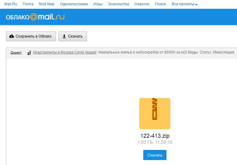
To start download, click blue rectangle with the word Скачать
Create photorealistic scenery
What do you need
First you have to have a passion for flight simulation, skill with computer, lots of patience and lots of time! Are important prerequisites, otherwise you will stop halfway and you will have wasted your time.
But I guarantee you a lot of satisfaction.
Software
To create photorealistic scenarios, these software are required:
What is FSEarthTiles?
This software has only one purpose: to download satellite images (*) from internet and create bgl files type. FSX directly use these files and replaces default scenario. The visual result is very similar to what you see with Google Earth.
What is SBuilderX?
This software is far more complex than the last, because in addition to downloaded satellite images (*), is also able to create and place 3D objects (buildings, industries, roads, cars, etc.) exactly where you want it. So you can enrich your scenery with virtually everything you want to make it really realistic.
What is GMax?
This software is a powerful but complex 3D modeler, based on 3D Studio Max. It allows modeling of anything and export for FSX / P3D.
(*) Important: satellite images are copyrighted!
This means that software I listed can download images, but for their commercial use is necessary to purchase the rights.
First you have to have a passion for flight simulation, skill with computer, lots of patience and lots of time! Are important prerequisites, otherwise you will stop halfway and you will have wasted your time.
But I guarantee you a lot of satisfaction.
Software
To create photorealistic scenarios, these software are required:
- Flight Simulator X Deluxe Edition, with l'SDK tools to create add-on, or alternatively Lockheed Martin Prepar3D and its SDK
- at least one of these 2 software:
- FSEarthTiles
- SBuilderX
- a photo-editing software, such as Adobe Photoshop
- GMax (Freeware)
- FS Design Studio (Payware)
- AC3D (Payware)
What is FSEarthTiles?
This software has only one purpose: to download satellite images (*) from internet and create bgl files type. FSX directly use these files and replaces default scenario. The visual result is very similar to what you see with Google Earth.
What is SBuilderX?
This software is far more complex than the last, because in addition to downloaded satellite images (*), is also able to create and place 3D objects (buildings, industries, roads, cars, etc.) exactly where you want it. So you can enrich your scenery with virtually everything you want to make it really realistic.
What is GMax?
This software is a powerful but complex 3D modeler, based on 3D Studio Max. It allows modeling of anything and export for FSX / P3D.
(*) Important: satellite images are copyrighted!
This means that software I listed can download images, but for their commercial use is necessary to purchase the rights.
Scenarios installation tutorial
Here are some tips for the installation of my scenarios:
https://drive.google.com/open?id=0B6XOltdxmUEkN3R1RGJVNVM0eDg
WHERE TO FIND OTHER INFO
Some links:
blogfsx
Italian Forum
Autogen
Microsoft's official Autogen manual
Using the Autogen Annotator
English Tutorial to use Autogen Annotator
sceneobjects
list of all FSX default library objects
ozx scenery
freeware
fsdeveloper
English Forum
fullterrain
freeware
Farfy's Page
3D modeling tutorial
mayang textures
Textures
simw
on-line shop
